
Portfolio
Technical Innovation
Credit: NOAA
-
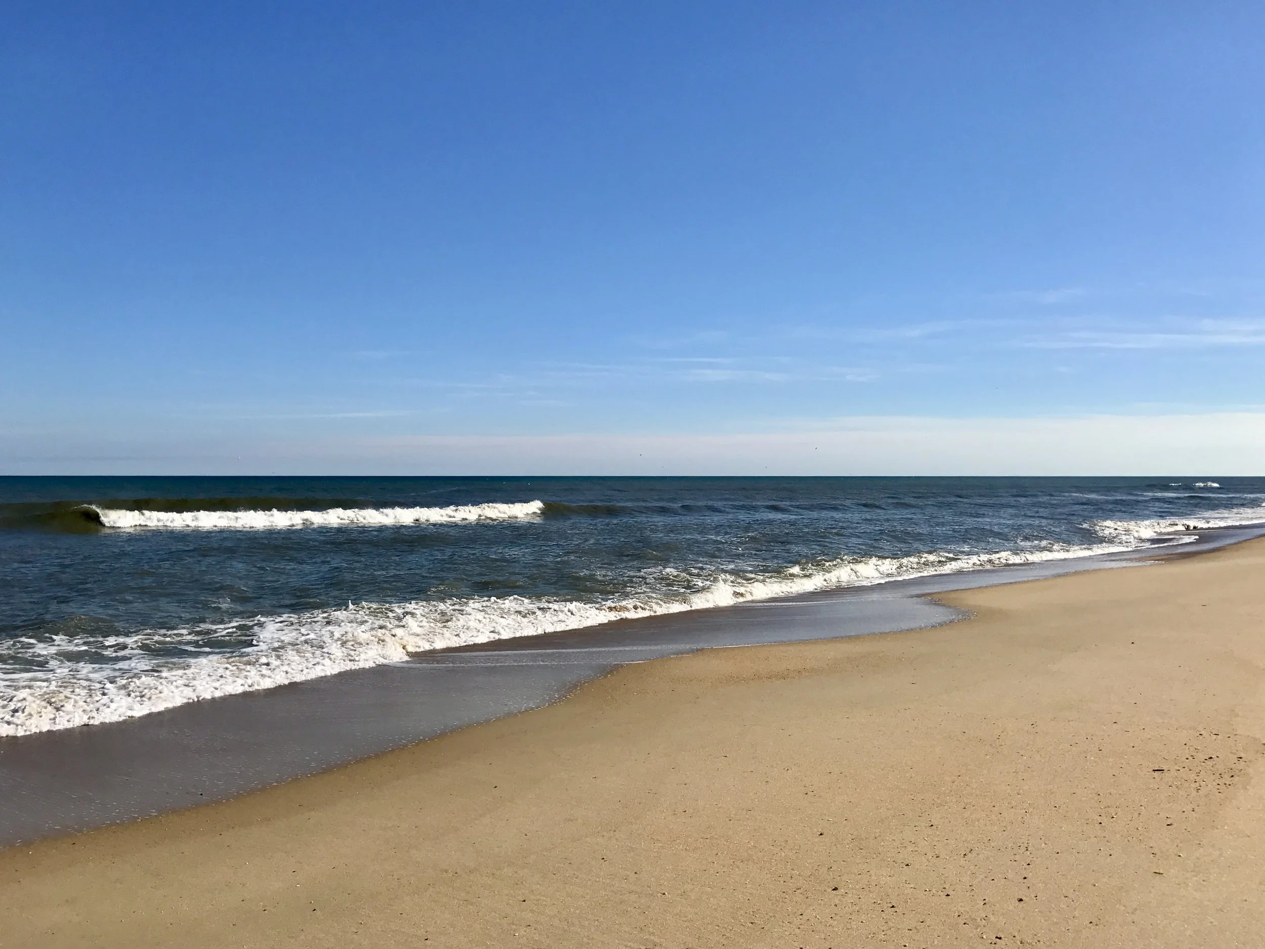
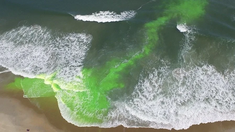
Dr. Dusek was the developer and technical lead for the first national, operational rip current model in the U.S. The hybrid dynamical, machine-learning model predicts the hourly likelihood of hazardous rip currents every mile along much of the U.S. coastline out to 6 days in the future.
Credit: LA 1 Coalition
-
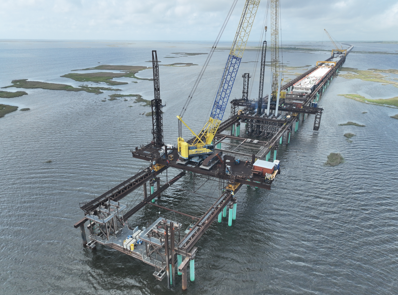
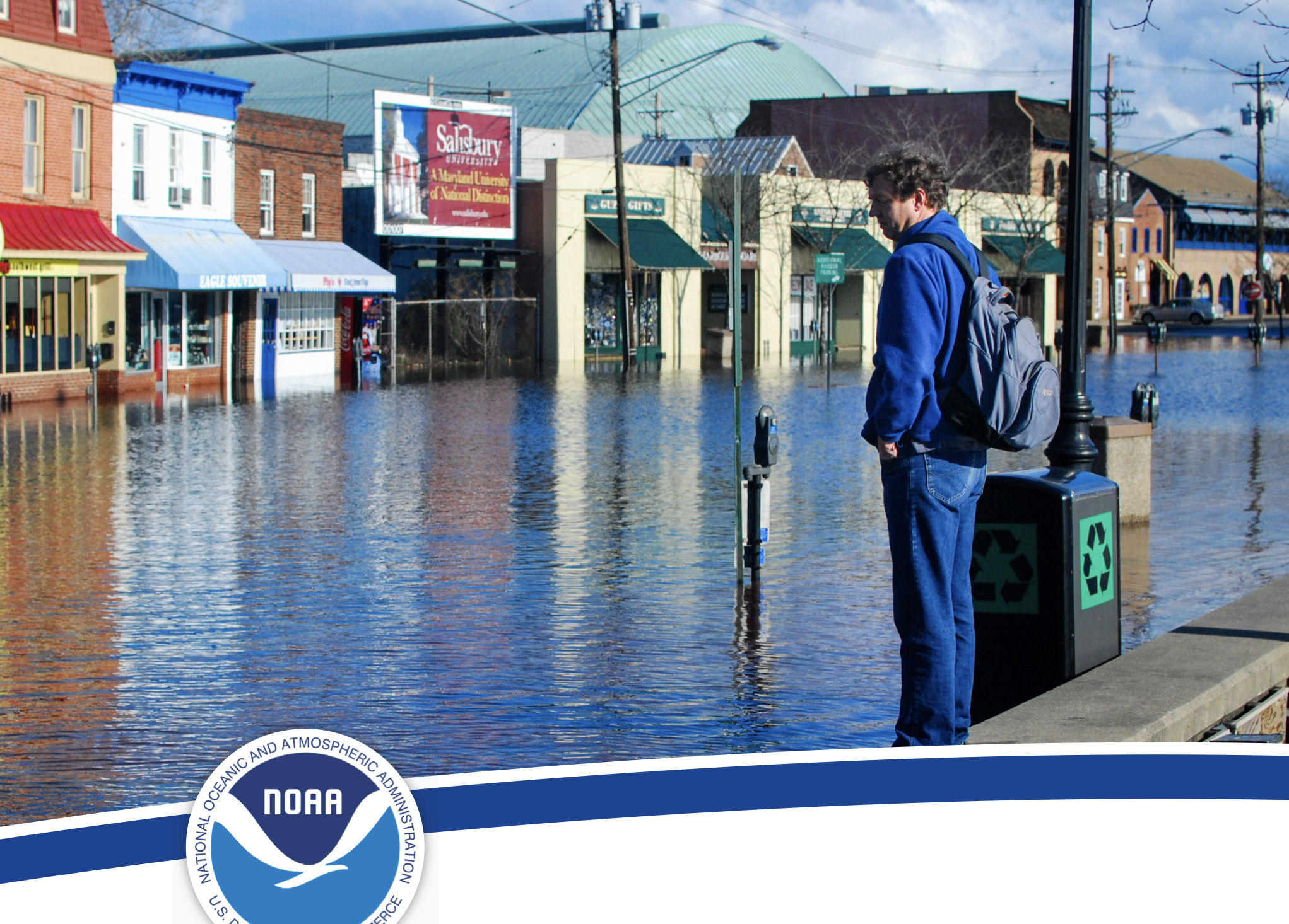
Dr. Dusek co-led a 2020 assessment of future coastal flood risk for Louisiana Hwy 1 in partnership with the State of Louisiana. The assessment demonstrated the highway would likely experience weekly flooding within 20 years, and supported a $134 Million award to raise the highway from the U.S. Department of Transportation.
Credit: SECOORA
-
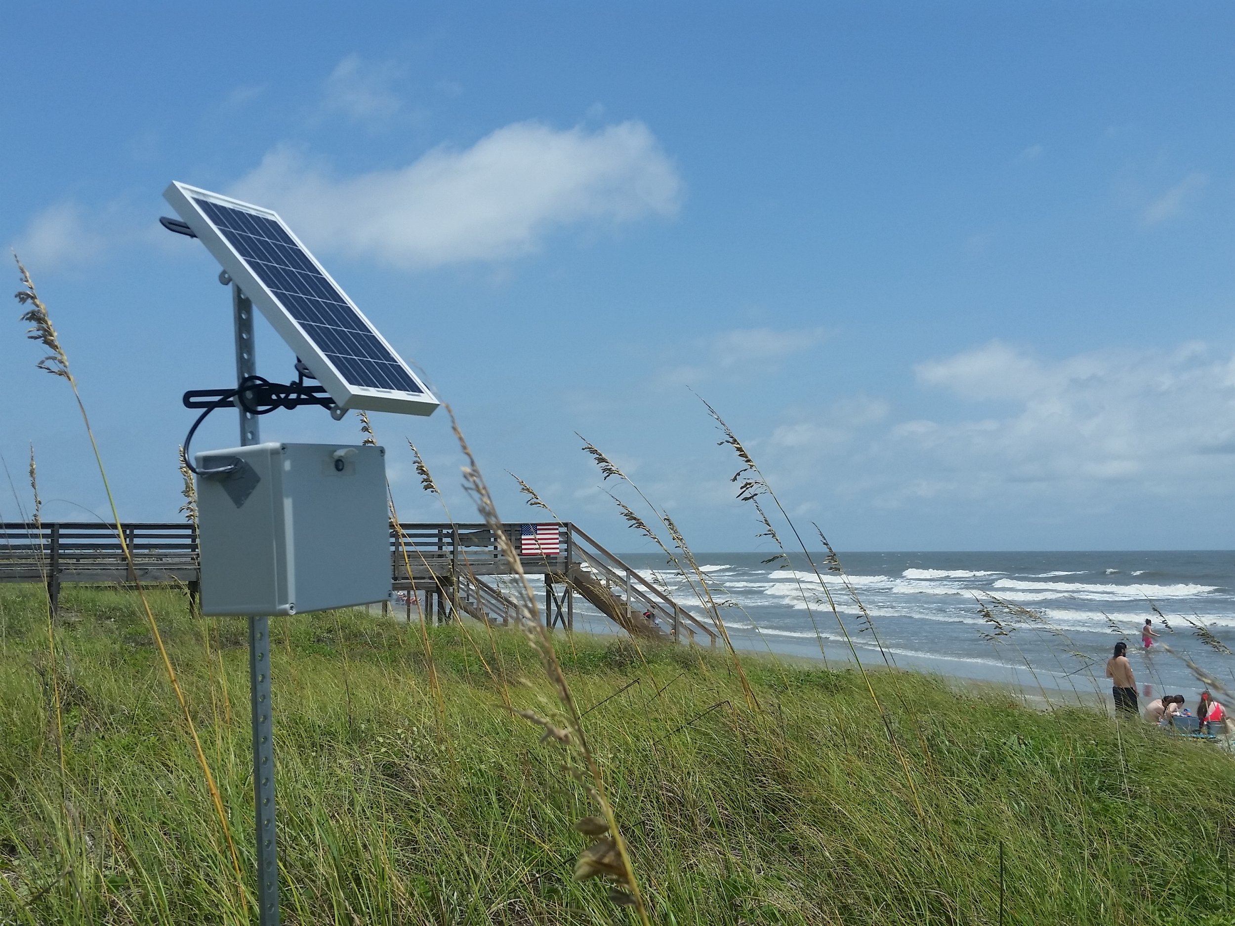
Working with the Southeast Coastal Ocean Observing Regional Association (SECOORA), Dr. Dusek created and co-led the development of WebCOOS. The network enables communities to monitor coastal hazards such as flooding, erosion and rip currents.
-
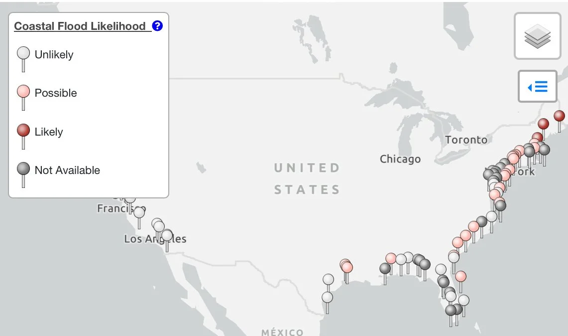
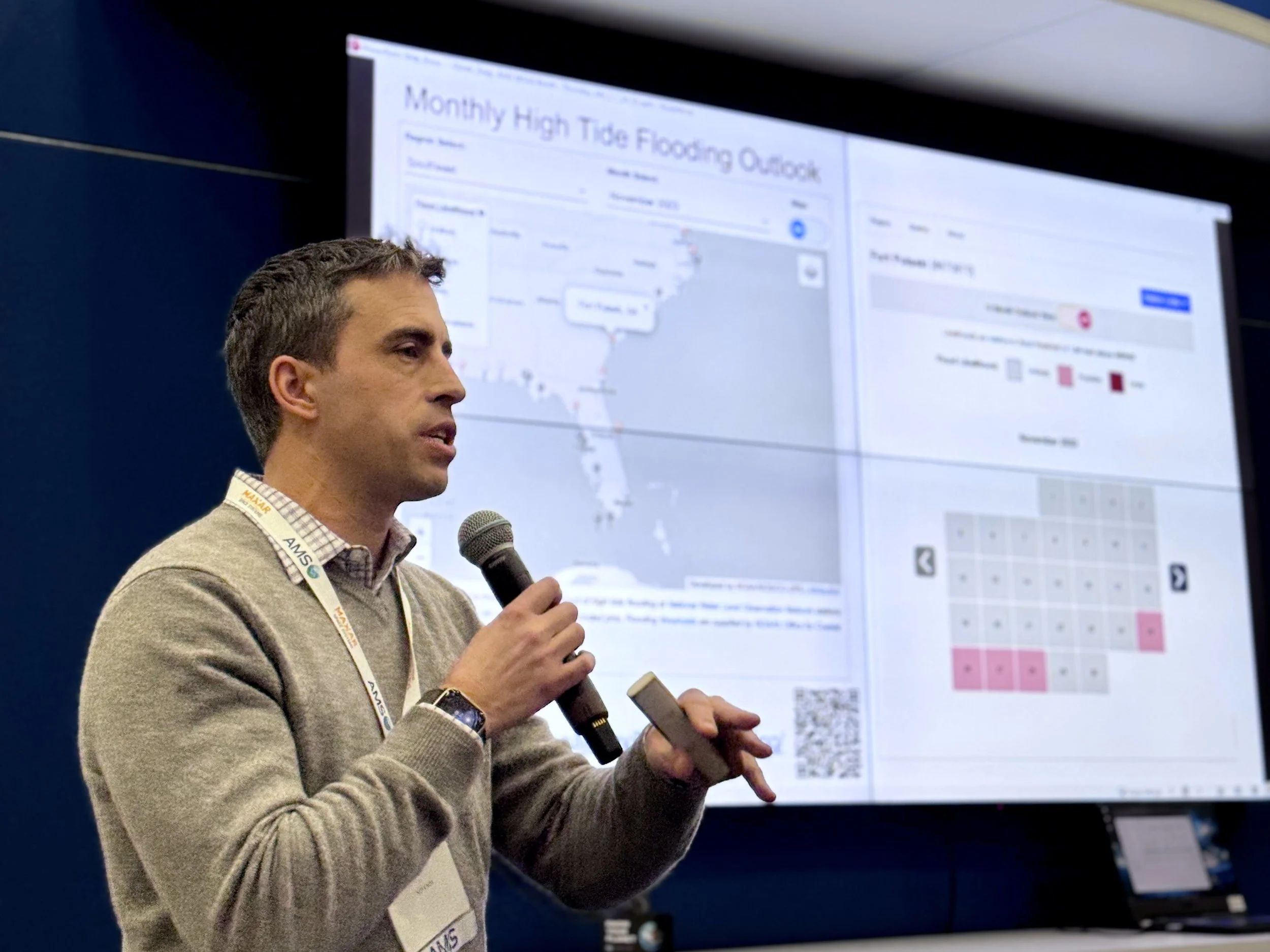
Dr. Dusek developed the first national high tide flooding prediction model for the U.S. The data-driven model predicts the daily likelihood of coastal flooding up to a year in advance at NOAA tide gauge locations.
-
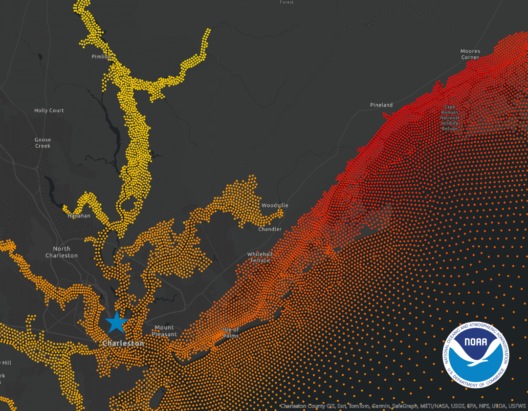
As the technical lead for the NOAA Coastal Ocean Reanalysis or CORA, Dr. Dusek helped design and develop the first national high-resolution, multidecadal coastal water level and wave reanalysis. More than 40 years of hourly waves and water levels every 500m along the coast enables improved flood prediction and risk assessment.
-
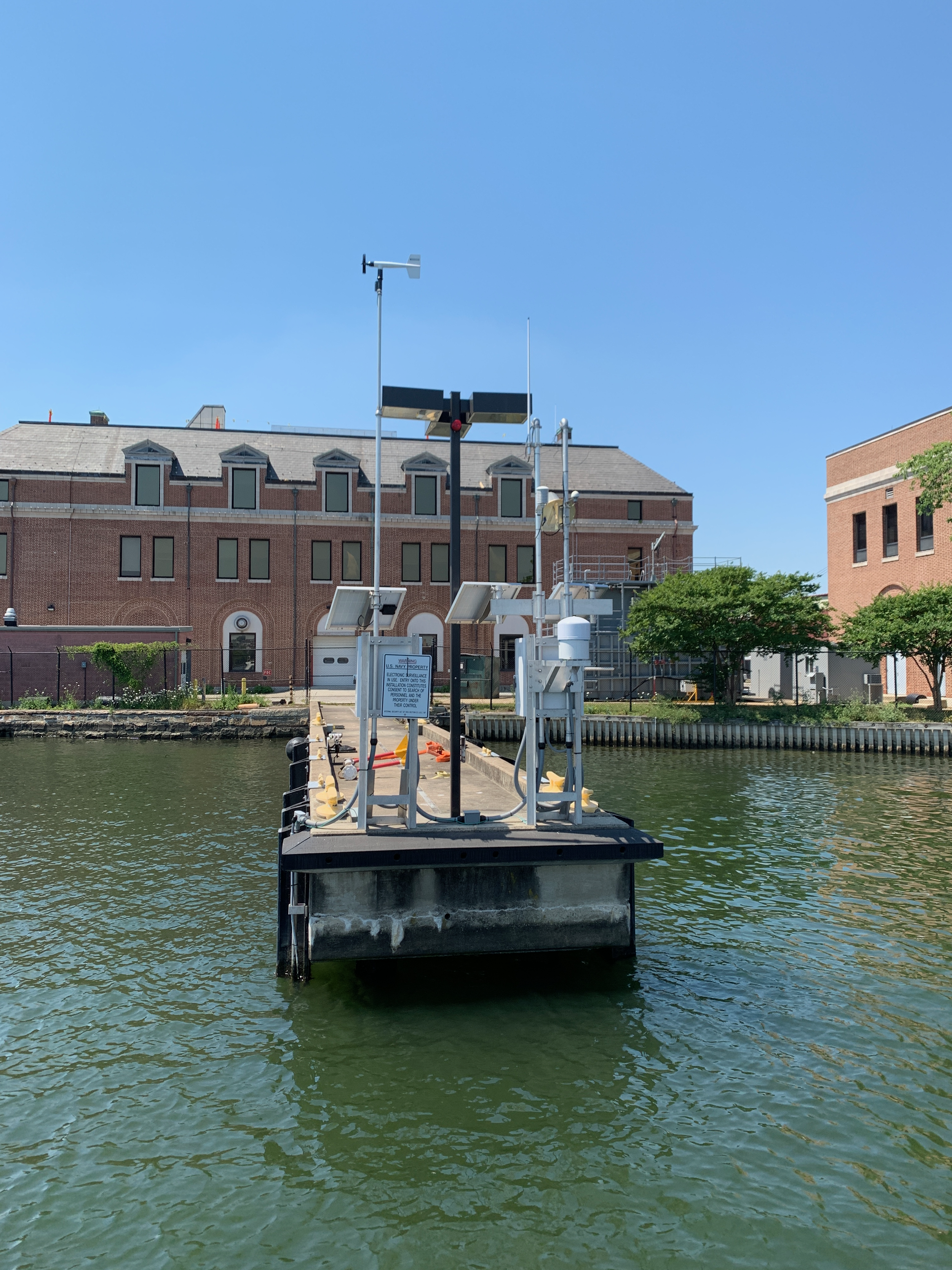
For over 10 years Dr. Dusek led R&D for the more than 200 tide gauge NOAA National Water Level Observation Network as the CO-OPS Chief Scientist. Under his leadership the network transitioned to a new sensor technology and prototyped AI methods for data quality control.
Strategic Planning
-
Dr. Dusek co-led the development of the NOAA AI Strategy and led the implementation of the 2021 NOAA AI Strategic Plan. The plan established the NOAA Center for AI and positioned NOAA to accelerate the use of AI methods to improve the efficiency and effectiveness of NOAA products and services.
-
Dr. Dusek developed a coastal modeling strategic roadmap to guide the Southeast Coastal Ocean Observing Regional Association’s (SECOORA) future planning, prioritization, and service delivery of coastal models. The roadmap informed the development of the 2024-2029 SECOORA strategic plan.
-
Dr. Dusek led the development of a strategy for NOAA Fisheries to transition on-premise data storage and compute resources to the cloud. The strategy positioned Fisheries to accelerate their cloud transition via improved governance, workforce development and communication, rapid cloud migration, and IT security.
-
As a co-lead for the development of a coastal inundation framework for NOAA, Dr. Dusek helped design a capacity to deliver subseasonal to decadal coastal flood information to U.S. coastal communities. The framework enabled approximately $12 million of Bipartisan Infrastructure Law funding to further develop NOAA seasonal-to-annual flood prediction capabilities
Science Communication
-
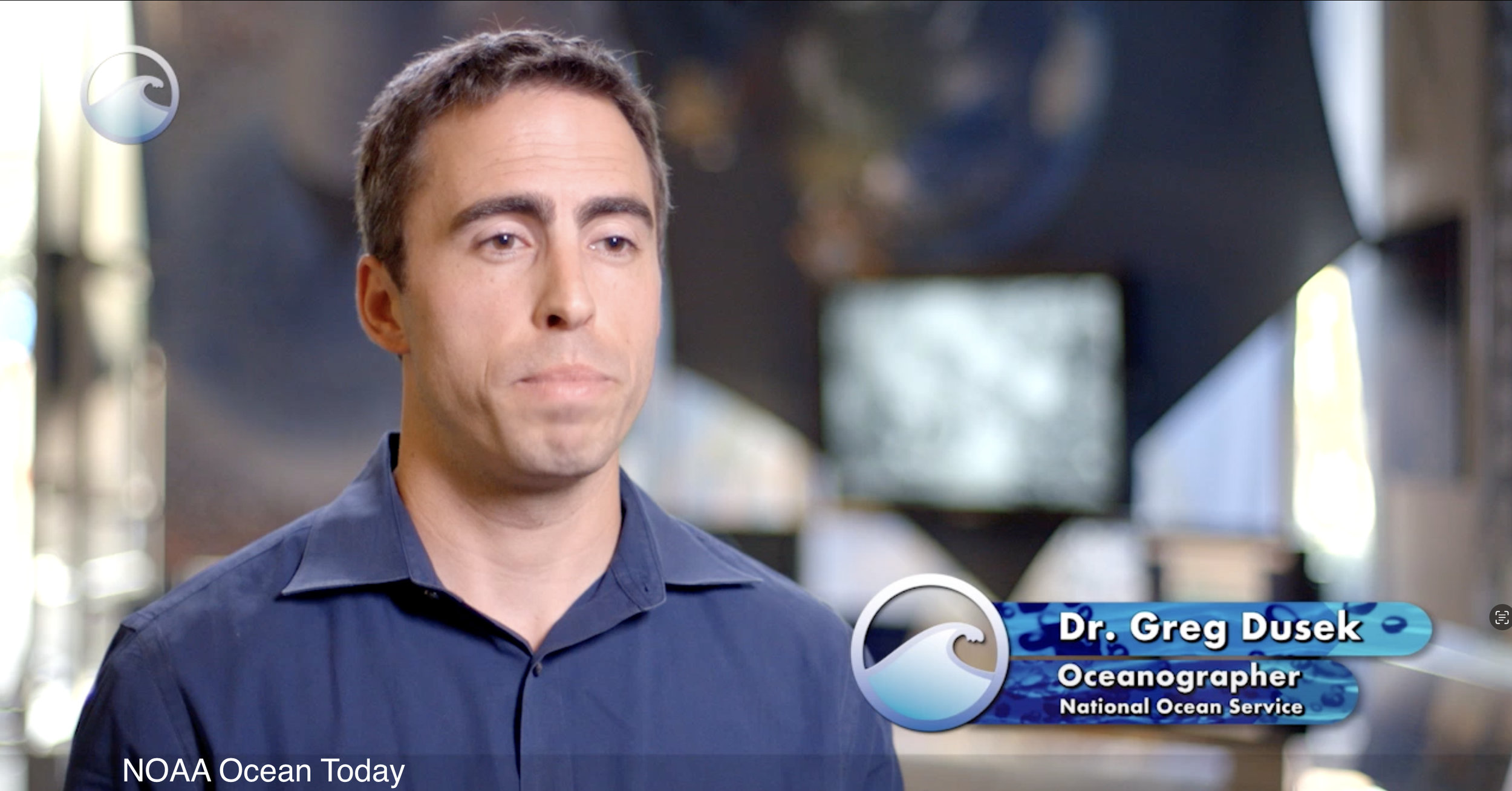
Dr. Dusek was the lead science subject matter expert for the 5-part NOAA Ocean Today Rip Current series. He led script development and narrated the Rip Current Survival Guide, which had over 16 million views within two years and remains the most viewed Ocean Today video ever.
-
Dr. Dusek’s public speaking engagements have spanned national conferences, interagency workshops, and public forums, where he translates cutting-edge science into actionable insights. His ability to bridge research and real-world applications through compelling storytelling has made him a sought-after voice in the coastal science community.
-
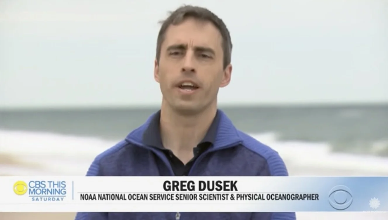
With numerous podcast appearances for venues such as NPR and The Weather Channel, Dr. Dusek is a trusted voice for explaining coastal hazards, sea level rise, and science-driven policy. He specializes in making complex ideas accessible and actionable for listeners across sectors.
-
Dr. Dusek is a trusted media source on coastal hazards, sea level rise, and AI in environmental science, with appearances in NPR, NBC News, The Washington Post, The New York Times, and Good Morning America. He communicates complex science clearly and effectively, helping the public understand and respond to emerging environmental risks.